CEDAR RAPIDS, Iowa (KCRG) - Travel is not recommended in many areas as snow and wind continue across eastern Iowa.

A Winter Storm Warning continues for the entire KCRG-TV9 viewing area through midnight, with snow and gusty winds causing dangerous travel conditions.

A gradual decrease in snowfall is expected into the evening hours, and precipitation will tend to shut down from west to east as the evening goes on. Blowing and drifting of snow, will cause road conditions to be harder to improve, with areas of reduced visibility to go along with it. Travel should remain difficult into the night.
Storm total snowfall accumulations should still fall into the 5 to 10-inch range, with a few areas checking in with higher totals. Most of the snow will be wet and heavy, and thus extra difficult to shovel. If you have certain medical conditions, such as a heart issue, please use caution when attempting to clear the snow from your driveways or sidewalks. Other impacts, like road conditions, from this system will likely be the same no matter how much you officially receive.
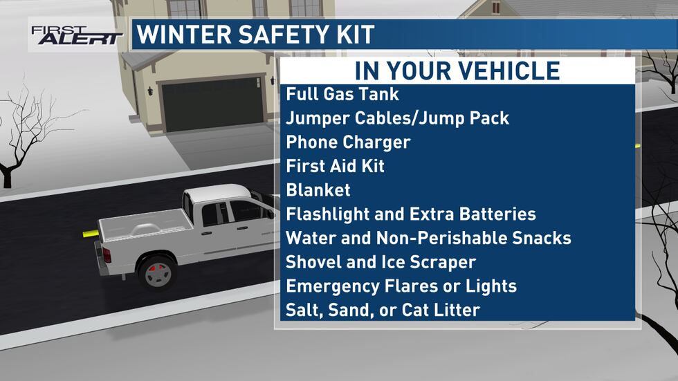
If you need to drive today or tonight, make sure to use commonly suggested winter driving techniques. This includes giving yourself extra time to get to your destination, which allows you to slow down without feeling pressure to rush. Extra stopping distance is needed, especially for intersections and between you and the car in front of you. Check on the road conditions before you leave home.
As the storm system exits, much of Wednesday should be fairly quiet but mostly cloudy. Temperatures will be a little colder, with highs only in the mid to upper 20s. Another quick-moving disturbance will move through the area late on Wednesday into Wednesday night, giving us another shot at some light snow. Accumulations should be relatively minor compared to what we are experiencing right now, with a trace to 2 inches of additional snow possible. The heaviest totals will be favored north of Interstate 80.
Slick roads would again be possible for some on Thursday morning as a result, but the day should serve as a break from the wintry weather for a bit. However, another storm system will be quick to follow, with impacts from this one likely to start Thursday night into Friday. This storm looks a little more substantial once again, potentially providing another round of accumulating snow on top of what we will have already seen. The possibility of travel disruption is there again for Friday into Friday night, so be prepared to potentially alter your plans during that time.
Winds should pick up again Friday into Saturday as an Arctic air mass works into the Midwest. This may cause some issues with blowing snow at times, and it will also lead to much colder temperatures by the end of the weekend. Air temperatures will likely be stuck below zero for an extended period, potentially lasting between Saturday evening to Monday morning at least. Wind chills will be well below zero during this time to go along with it.
Copyright 2024 KCRG. All rights reserved.
"difficult" - Google News
January 10, 2024 at 04:49AM
https://ift.tt/ZvM9S8I
Difficult travel tonight with more snow and cold on the way - KCRG
"difficult" - Google News
https://ift.tt/Yiaq9W2
https://ift.tt/lBfEd20
Bagikan Berita Ini


0 Response to "Difficult travel tonight with more snow and cold on the way - KCRG"
Post a Comment